


Boston Harbor’s Silent Guardians: NOAA’s PORTS Revolutionizes Maritime Destiny
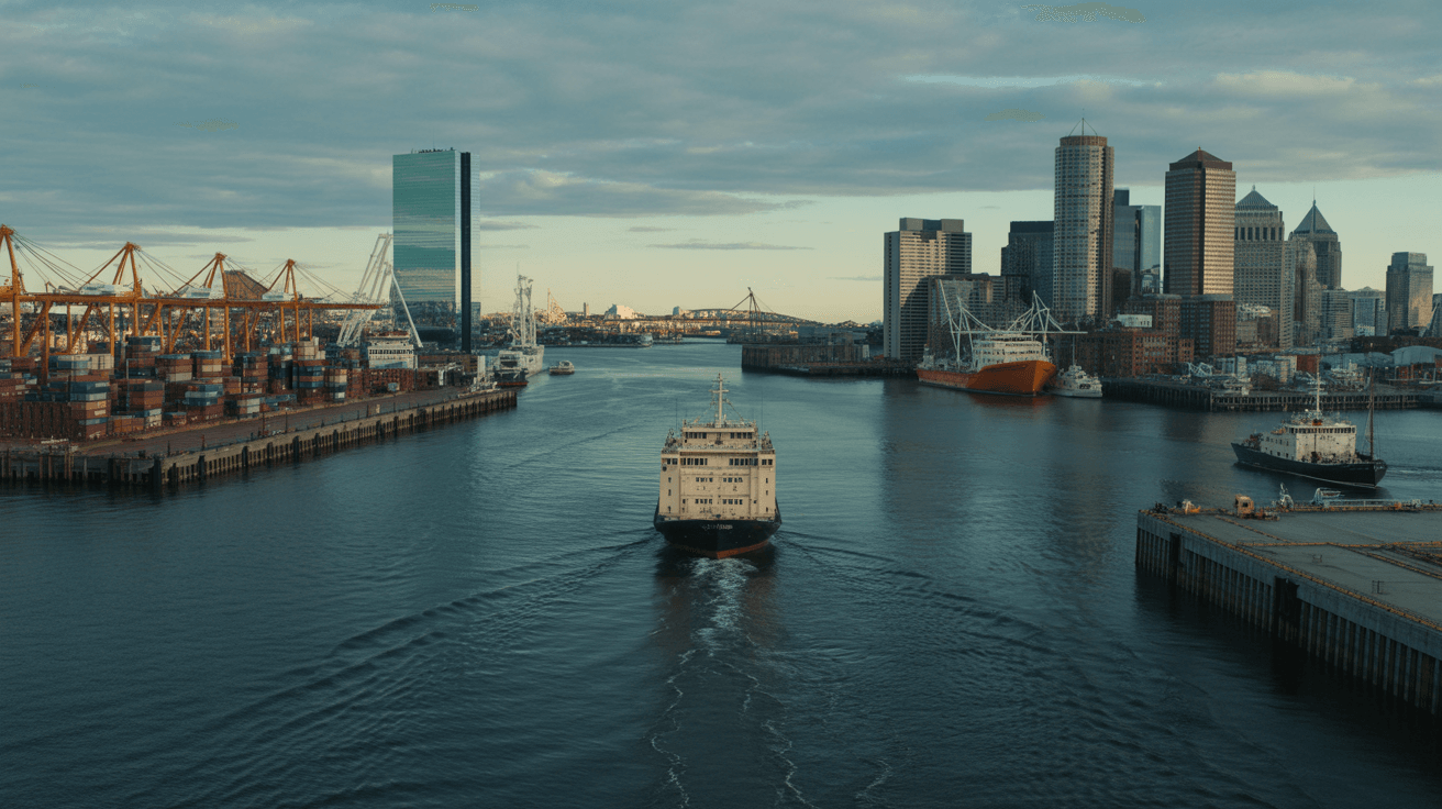
The fog rolls thick over Boston Harbor like a shroud from the 1600s, massive container ships loom as colossal shadows, their hulls slicing through churning waves. A sudden tide surge narrows the Tobin Bridge clearance—disaster whispers. Then, invisible sensors awaken, beaming real-time data to captains, averting collision in the nation’s third-busiest port.


” alt=”Fog-shrouded container ship in Boston Harbor at dawn” style=”width:100%;height:auto;”>
Act I: The Vital Gateway Awakens
🎒 OneMinuteExplore Shop
Curated gear for the modern explorer. Support our field research.
Boston Harbor, born in the 1600s, pulses as Massachusetts’ economic heartbeat—handling 2.3 million tons of cargo yearly at Conley Terminal, New England’s sole full-service hub. Supporting 66,000 jobs and billions in revenue, it faces escalating threats: gargantuan ships, surging traffic, dramatic tides. Enter NOAA’s Physical Oceanographic Real-Time System (PORTS®)—the 41st nationwide installation, forged with Massachusetts Department of Environmental Protection.
Sensors on the Frontlines
At Massport’s Conley Terminal: a current meter tracks invisible underwater forces. On Tobin Memorial Bridge: a meteorological station captures wind gusts, air temperature, barometric pressure. A pioneering air gap sensor measures live bridge clearance over the Mystic River, where tides swing wildly. Integrated with NOAA’s National Water Level Observation Network, it delivers unerring environmental intel.

” alt=”High-tech sensors on Boston Harbor bridge amid stormy seas” style=”width:100%;height:auto;”>
Act II: Defying the Depths
As ship sizes balloon, risks multiply—collisions, groundings, oil spills threaten life, property, coasts. PORTS® fuses real-time data with forecasts, geospatial maps, empowering pilots for precise timing, under-keel clearance. ‘Boston Harbor PORTS will help mariners safely navigate… supporting supply chain resilience,’ declares NOAA’s Nicole R. LeBoeuf. MassDEP’s Bonnie Heiple hails it for spill prevention post-2003 Bouchard disaster. NOAA Administrator Neil Jacobs affirms: a vital gateway for U.S. commerce.
Proven Legacy
PORTS® networks nationwide have slashed incidents, now arming Boston’s pilots against chaos. Public data streams live via NOAA Tides and Currents, accessible to all—from cargo giants to recreational sailors.

” alt=”Massive cargo vessel navigating tight Boston Harbor channel at twilight” style=”width:100%;height:auto;”>
Act III: Horizon of Safety
In this cinematic saga of technology versus tempest, Boston Harbor stands resilient—PORTS® not just sensors, but silent guardians ensuring safe passage, economic surge, environmental shield. The harbor’s ancient waters meet modern precision, scripting a future where no tide claims victory.
Did any of these facts surprise you? Drop a comment below! 💡
🔍 Common Inquiries
What is NOAA’s PORTS® system?
PORTS® is a Physical Oceanographic Real-Time System providing real-time environmental data like currents, winds, water levels, and bridge clearances for safe navigation in busy ports.
Where are the Boston Harbor PORTS® sensors located?
Sensors are at Massport’s Conley Terminal (current meter, meteorological station) and Tobin Memorial Bridge (air gap sensor), integrated with existing water level stations.
How does PORTS® improve safety in Boston Harbor?
It delivers accurate data on tides, winds, and clearances, helping prevent collisions, groundings, and spills amid growing ship sizes and traffic.
What economic impact does Boston Harbor have?
As the nation’s third-busiest cargo port by tonnage, it handles 2.3 million tons annually, supports 66,000 jobs, and generates billions for New England.
Who partners on the Boston Harbor PORTS®?
NOAA partners with Massachusetts Department of Environmental Protection (MassDEP) under public-private initiatives; it’s the 41st PORTS® installation.
Where can I access Boston Harbor PORTS® data?
Live data is publicly available on NOAA’s Tides and Currents website.
#BostonHarbor #NOAA #PORTS #MaritimeSafety #OceanTech #PortInnovation #EnvironmentalGuardians #NauticalNav #SupplyChainResilience #CoastalTech
Enjoyed this story? Join our community on YouTube.